
Dowtown, West Side to Lose Voting Power Under Council Redistricting Plan
After many delays and revisions, the New York City Districting Commission has presented its final proposed new City Council district map to the City Council for approval. Every ten years, the City Council’s lines, like those of every legislative body in the country, must be changed to reflect changes in population as determined by the Census. As the Council has ultimate authority over land use decisions and landmark designations, its decennial redistricting is of course of great interest to us.
One might expect pretty substantial changes in the boundary lines of the 1st, 2nd, and 3rd Council districts. These districts encompass the Village, East Village, and NoHo, among many other downtown and West Side neighborhoods, and each of these districts grew faster than the city as a whole (in fact, the 1st had one of the largest population increases of any district in the city, while the 3rd , consisting of much of the Village, Chelsea, and Hell’s Kitchen, had the largest of all fifty-one districts).
But in spite of these dramatic population changes, the Commission proposes only very slight changes to the boundaries of the 1st, 2nd, and 3rd Council districts, unlike many others in the city. This means that residents of the Village, East Village and the other neighborhoods in these three districts would be among the most underrepresented in the City Council under the proposed new plan. In fact, residents of the 1st and 3rd Council districts, which include most of the Village, would actually be the most underrepresented in the City Council, and have the least voting power, of any residents in the entire city.

First let’s look more closely at what changes the Districting Commission has proposed for the 1st, 2nd, and 3rd districts. This includes moving some of the South Village from Council District 3 (currently represented by Christine Quinn) to Council District 1 (currently represented by Margaret Chin). This would shift the undesignated part of the proposed South Village Historic District GVSHP has been fighting to get landmarked from predominantly within the 3rd Council district to roughly split between the 3rd and 1st Council Districts.
A few low-population blocks at the southern end of Hudson Square/SoHo would also move from the 3rd to the 1st District, and a few blocks in the Central and East Village would move from the 1st District to the 2nd (currently represented by Rosie Mendez).

Outside of these relatively modest changes in the Village, the lines of these three districts would barely change at all; the 3rd district would just swap some relatively low-population stretches of Midtown for a small number of more densely populated blocks on the Upper West Side. By contrast, under the plan many other districts experience major changes in their boundaries.
But small changes in lines coupled with large changes in population means a big difference in relative representation. Under the new plan, the 3rd Council district, which has grown tremendously, would have a population of 168,556 – the highest of any of the fifty-one Council districts in the city. The 1st district, which has also experienced dramatic population growth, would have the second highest population of any in the city at 168,491. The 2nd district would not be far behind, with 168,334 residents.
By contrast, under the proposed Council plan, the 51st Council district on the South Shore of Staten Island (also one of the fastest growing parts of the city) would have a mere 153,553 residents; the 11th Council district (Riverdale, Kingsbridge) would have just 153,044 residents; and the 23rd Council district (Fresh Meadows, Glen Oaks) would be the least populous in the entire city, with just 152,767 residents (see/click below for population stats.)

And yet each of these districts would be allotted one seat, and therefore one vote, on the City Council. This means that a resident of the 3rd Council district, with 168,556 residents, would have about 10% less voting power, and 10% less representation on the City Council, than a resident of the 23rd Council district, which would have 153,553 residents. In other words, it would require 10% more people to qualify for one City Council representative on the West Side of Manhattan than it would on the South Shore of Staten Island or Northeastern Queens. Conversely, that West Side resident’s vote would have 10% less impact on the City Council than his or her counterpart in those Staten Island or Queens districts.
How is this possible, one might ask, given the Constitution’s guarantee of one person, one vote?
The City Charter does allow a maximum deviation of 10% between the most populous and least populous of City Council districts. The Charter also directs the Districting Commission to try to ensure that Council district boundaries are compact, keep “communities of interest” intact, and where possible avoid crossing borough lines. Acknowledging that there might be some cases where achieving this would be difficult or impossible with fifty-one districts of the exact same number of residents, the Charter does allow some wiggle room for deviation to reach these goals.
However, nowhere in the Commission’s memorandum on the proposed district boundary lines do they make any mention of what purpose is served by “packing” the 1st, 2nd, and 3rd Council districts with so many people, while drawing the boundaries of some other districts, such as the 23rd and the 51st, to make them so relatively unpopulated — and therefore, relatively speaking, so overrepresented.
Neither is there any discernible reason why packing so many residents into these three districts would make them more compact, keep communities of interest together (the Village, for instance, is still divided between three Council districts), or keep districts from crossing borough boundaries.
Beyond the immediate imbalance this plan would create in terms of representation and voting power in 2013, it is worth contemplating what the impact the proposed district lines will have at the beginning of the next decade, when they are still in effect prior to the next redistricting. Having experienced some of the highest growth rates in the entire city, the 1st and 3rd Council districts can be reasonably expected to experience continued strong, and likely accelerated, population growth over the decade.
Within the 3rd Council district, several very large rezonings have been approved in recent years that are expected to lead to the creation of thousands of units of new housing (by far the majority of which will be luxury housing). The Hudson Yards rezoning, West Chelsea rezoning, and the rezoning of the former St. Vincent’s hospital for condo development by the Rudin organization each allows hundreds or thousands of units of housing to be developed where it was previously prohibited. Additionally, the West Side Railyards development, also approved by the City Council and the City, will result in the construction of a veritable city-within-a-city over the next decade, with thousands more housing units to be added. The proposed Hudson Square rezoning, if approved by the City Council in March, is also expected to add thousands of new residential units over the next several years.
The 1st district contains Community Board #1 (Financial District, Tribeca, Battery Park City, South Street Seaport), the board with the fastest growing population in the entire city. That population explosion is only expected to increase as the construction of the new World Trade Center accelerates the trend of older, outdated office buildings in the Financial District being converted to residential use. Additionally, in the 1st Council district the City Council has just approved the Seward Park Urban Renewal plan, one of the largest projects developed in Manhattan in decades, which will add thousands more housing units, and the NYU 2031 expansion, which also includes thousands of units of new housing to be built, in this case for NYU students and faculty.
While predicting the future is always tricky business, based upon the unusually generous allowances for new residential development in these districts and the trends of the last ten years, it is quite reasonable to expect that the 1st and 3rd Council districts will continue their robust population growth in the coming decade, likely far outpacing the city as a whole.
Thus if current trends continue, the 1st and 3rd Council districts (already the two most “packed,” and therefore the two most underrepresented, districts in the city) will be even more disproportionately underrepresented in the City Council under this plan by next decade, with residents having closer to 20% less voting power than their fellow citizens in other parts of the city. And if current trends accelerate, as is likely given the aforementioned development approvals and plans in these districts, the degree of underrepresentation in the Council for residents of the 1st and 3rd Council districts under the proposed plan could easily grow to 25 or 30% by the end of the decade, and possibly even more.
(The 2nd district experienced more modest growth during the past decade – higher than in the city as a whole, but not nearly as dramatic as the 1st or 3rd Council districts; the district has had no major zoning changes creating significant increased residential development potential. Thus a more reasonable prediction for the 2nd Council district over the course of the decade under the proposed plan might be continued population growth at or just above that of the city as a whole, maintaining or slightly increasing the currently-proposed 10% under-representation in the City Council as compared to several other districts in the city – still a distinct disadvantage.)
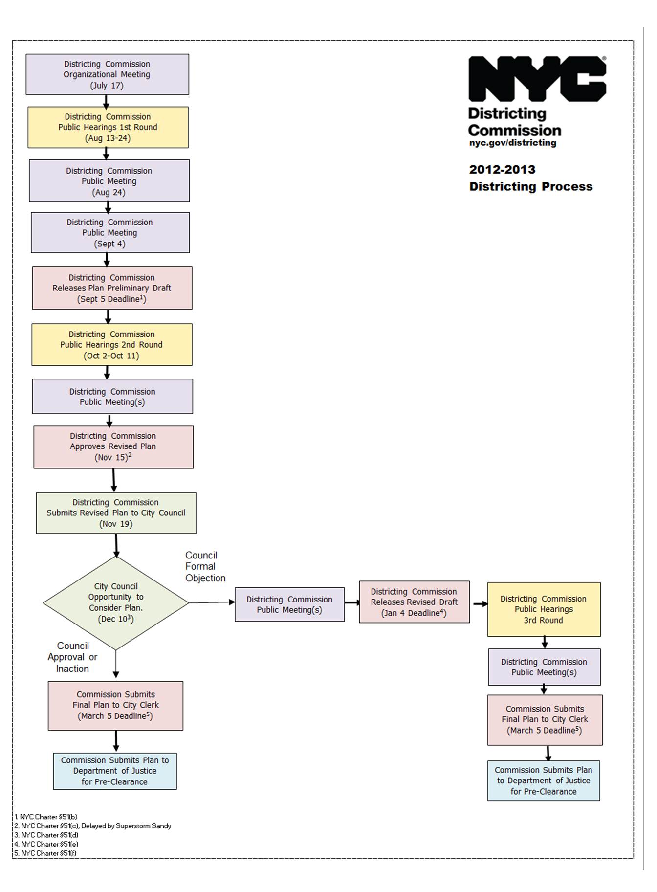
So who will ultimately decide if this plan, with all its ramifications for our neighborhoods’ ability to have a voice in city government, is adopted? Likely the City Council, which also appoints the majority of the Districting Commission’s members. The Commission has presented this final proposal to the Council, which now has until February 27th to accept it, reject it, or do nothing. If the Council accepts it or does nothing, the plan is deemed “adopted,” and goes to the U.S. Department of Justice for clearance, after which it takes effect.
You can contact City Council Speaker Quinn about the Districting Commission’s recommendations at speakerquinn@council.nyc.ny.us or 212-564-7757. You can contact the NYC Districting Commission at 212-442-6940 or e-mail them by clicking HERE, or visit their website for more information HERE.
One response to “Dowtown, West Side to Lose Voting Power Under Council Redistricting Plan”